

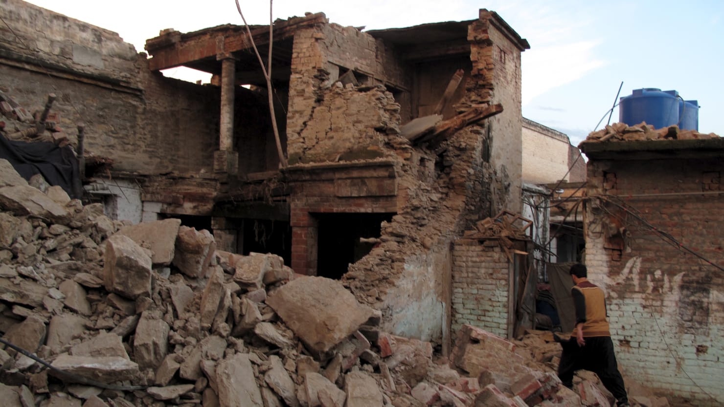
The threat of earthquakes is just a regular part of life for much of the globe. This was most prominently on display just this past February, when a massive magnitude 7.8 quake struck parts of Turkey and Syria and led to the deaths of nearly 60,000 people, and left 1.5 million others homeless. Tens of thousands of aftershocks—some almost as powerful as the original earthquake itself—plagued the region for weeks.
It’s precisely this type of scenario scientists want to be able to predict beforehand to give people enough warning to find safety and avoid being caught in life-threatening conditions. Unfortunately, there are currently no real methods to predicting an earthquake ahead of time—the best early warning systems so far simply let people know within seconds that an earthquake has begun.
But what if we could forecast a large earthquake will strike with up to two hours of advance warning? A team of French scientists believes they may have stumbled on a method for doing so. And it doesn’t require the development of any new technologies—just leveraging an existing one you’re already familiar with: GPS.
Short for the Global Positioning System, GPS is a series of dozens of satellites used to collect and provide geolocation and time information to users on Earth, for both military and civilian purposes. The scientists behind the new study, published Thursday in the journal Science, used GPS data to analyze the changes in horizontal position occurring at over 3,000 geodetic after 90 major earthquakes around the globe (all of a magnitude 7.0 or higher)
The findings suggest that the horizontal movements of the stations “exponentially accelerated” in a direction consistent with how a slow fault slip (the deformation of two points in the Earth’s crust) begins to occur a couple hours near where the epicenter of an earthquake will hit.
In other words, GPS data could be used to measure the start of a fault slip that would eventually lead to a major earthquake up to two hours in advance of the first seismic shocks. We could theoretically monitor real-time GPS data that looks for subtle movements at areas of interest as an alert that a slow fault slip has begun and could lead to a major earthquake.
Two hours may not seem like too much time on its own—but it would be an incredible improvement from current detection methods. Before an earthquake, it could effectively be the difference between life and death for thousands.
“If it can be confirmed that earthquake nucleation often involves an hours-long precursory phase, and the means can be developed to reliably measure it, a precursor warning could be issued,” Roland Bürgmann, a seismologist at the University of California, Berkeley who was not involved with the study, wrote in an accompanying essay in Science.
Bürgmann added that new advancements in machine learning and AI could augment our ability to spot these minute shifts in horizontal position.
There are plenty of caveats to the study—notably that not all slow fault slips lead to major earthquakes, and not all major earthquakes are preceded by slow fault slips. The study also isn’t necessarily a clear test of using GPS to predict earthquakes; it merely shows that GPS data seems to demonstrate some patterns that correlate with certain earthquakes.
But the ability to monitor for such events and give an hour or two of warning to people, even for just a select number of earthquakes, seems within our grasp. “Our observation suggests that precursory signals exist and that the precision required to monitor them is not orders of magnitudes away from our present capabilities,” wrote the authors.